Labeling, Segmentation, and Detection
The toolbox enables you to label 3-D point cloud data, which you can use as training data for deep learning models. The toolbox also provides geometric algorithms and pretrained deep learning networks to segment, detect, and classify objects in point clouds. These networks include RandLA-Net, PointNet++, PointPillars, SqueezeSegV2, Voxel R-CNN, and Segment Anything Model (SAM). You can use these algorithms and networks in applications such as transportation, forestry, agriculture, construction, and mining.
To learn how to process point clouds using deep learning, see Deep Learning with Point Clouds.
Categories
- Labeling
Interactive point cloud labeling for semantic segmentation, object detection, and classification
- Segmentation
Segment point cloud data into clusters using deep learning algorithms
- Object Detection and Classification
Detect and classify objects in lidar point cloud data using deep learning networks
Featured Examples

Aerial Lidar Semantic Segmentation Using RandLANet Deep Learning
Train a RandLANet deep learning network to perform semantic segmentation on aerial lidar data.

Determine Safe Landing Area for Aerial Vehicles
Demonstrates how to determine a safe landing area for aerial vehicles, such as helicopters and UAVs, by using aerial lidar data.

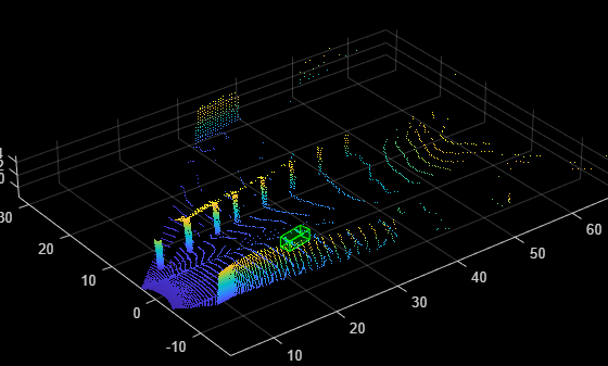
Lidar Object Detection Using Complex-YOLO v4 Network
Detect objects in point clouds using you only look once version 4 (YOLO v4) deep learning network. In this example, you:

Lidar 3-D Object Detection Using PointPillars Deep Learning
Train a PointPillars network for object detection in point clouds.

Aerial Lidar Semantic Segmentation Using PointNet++ Deep Learning
Train a PointNet++ deep learning network to perform semantic segmentation on aerial lidar data.
Data Augmentations for Lidar Object Detection Using Deep Learning
Perform typical data augmentation techniques for 3-D object detection workflows with lidar data.

Automate Ground Truth Labeling for Point Cloud Using Pretrained Deep Learning Model
Automate labeling in a point cloud using a pretrained deep learning model in the Lidar Labeler app.

Automate Ground Truth Labeling for Lidar Point Cloud Semantic Segmentation Using Lidar Labeler
Automate semantic labeling in a point cloud using a pretrained semantic segmentation network in the Lidar Labeler app. In this example, you can use the AutomationAlgorithm class to automate labeling in the Lidar Labeler app.

Extract Individual Tree Attributes and Forest Metrics from Aerial Lidar Data
Extract individual tree attributes and forest metrics from aerial lidar data.