zoharby/plot_google_map
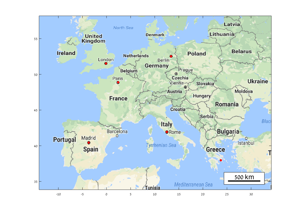
Plot a google map on the background of the current figure using the Static Google Maps API.

Vous suivez désormais cette soumission
- Les mises à jour seront visibles dans votre flux de contenu suivi
- Selon vos préférences en matière de communication il est possible que vous receviez des e-mails
Note de l’éditeur : This file was selected as MATLAB Central Pick of the Week
Citation pour cette source
Zohar Bar-Yehuda (2026). zoharby/plot_google_map (https://github.com/zoharby/plot_google_map), GitHub. Extrait(e) le .
Remerciements
Inspiré par : get_google_map, Automatic Map Scale Generation
A inspiré : borders, plot_openstreetmap, GPS2Cart, landsat, GITANES, get_google_map, JCDstatusPlot
Informations générales
- Version (13,1 ko)
-
 Afficher la licence sur GitHub
Compatibilité avec les versions de MATLAB
- Compatible avec toutes les versions
Plateformes compatibles
- Windows
- macOS
- Linux
| Version | Publié le | Notes de version | Action |
|---|---|---|---|
| 2.0.0 | Update description to reflect Google billing chnages |
||
| 1.6.0 | known issues (map saving alternative with export_fig) |
||
| 1.5.0 | Version 1.4 - 25/03/2014
|
||
| 1.4.0 | - Improved functionality of AutoAxis, which now handles any shape of map axes.
|
||
| 1.2.0 | - Support use of the "scale=2" parameter by default for finer rendering (set scale=1 if too slow).
|
||
| 1.0.0 |

