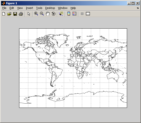
EZMILLER - easily plot a flat world map (Mapping Toolbox 2.x)
Draws a flat world map with coastal and political boundaries for use with Mapping Toolbox 2.x

Vous suivez désormais cette soumission
- Les mises à jour seront visibles dans votre flux de contenu suivi
- Selon vos préférences en matière de communication il est possible que vous receviez des e-mails
Citation pour cette source
Michael Kleder (2026). EZMILLER - easily plot a flat world map (Mapping Toolbox 2.x) (https://fr.mathworks.com/matlabcentral/fileexchange/8967-ezmiller-easily-plot-a-flat-world-map-mapping-toolbox-2-x), MATLAB Central File Exchange. Extrait(e) le .
Remerciements
A inspiré : Solar Path Plot (Comprehensive GUI)
Informations générales
- Version (43,5 ko)
-
Aucune licence
Compatibilité avec les versions de MATLAB
- Compatible avec toutes les versions
Plateformes compatibles
- Windows
- macOS
- Linux
| Version | Publié le | Notes de version | Action |
|---|---|---|---|
| 1.0.0 | reduced size of m-file by 70% |

